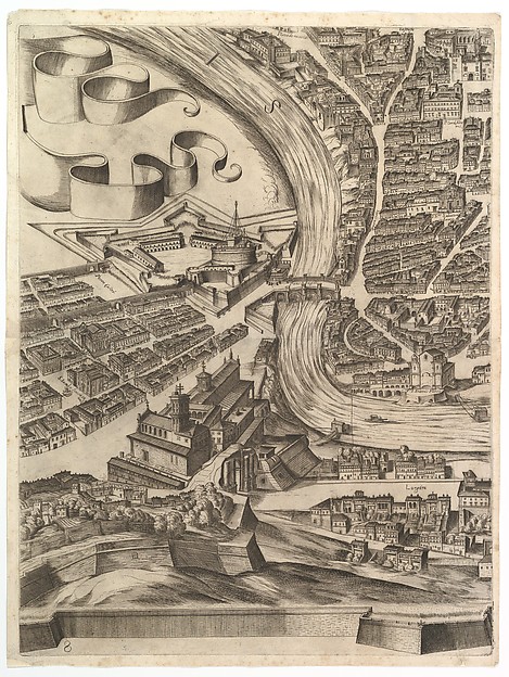
Plan of the City of Rome. Part 8 with the Castel Sant'Angelo
Antonio Tempesta (d. 1630)
1645 · Etching with some engraving, undescribed state.
Cleared · Public Domain
liveThe MetSimilar
Rights clearance desk for images
Museums publish two different things about the same artwork: whether the work is in copyright, and whether their picture of it is. OpenPlate reads both, does the arithmetic on the published term, and shows you the sentence behind every point of the score.
Where this page got its records
322 ms. The Metropolitan Museum of Art, Collection API (Open Access)
282 ms. The Cleveland Museum of Art, Open Access API
2 of 2 providers answered live. 1,605 matching records exist across the two collections.
Institutions answered newest-first by record, interleaved
Plan of the City of Rome. Part 8 with the Castel Sant'Angelo
Antonio Tempesta (d. 1630)
1645 · Etching with some engraving, undescribed state.
Cleared · Public Domain
live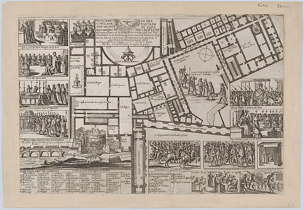
Papal conclave following the death of Pope Alessandro VII, with an iconographic map of Vatican City and scenes of the funeral, procession, and election of the new pope
Giovanni Giacomo De Rossi (d. 1691)
1667 · Etching
Cleared · Public Domain
live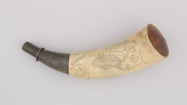
Powder Horn
Unrecorded maker
ca. 1775–76 · Horn (cow), wood
Cleared · Public Domain
live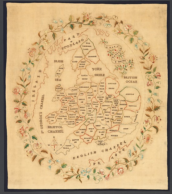
Embroidered map sampler
Unrecorded maker
1835 · Silk embroidery on wool
Cleared · Public Domain
live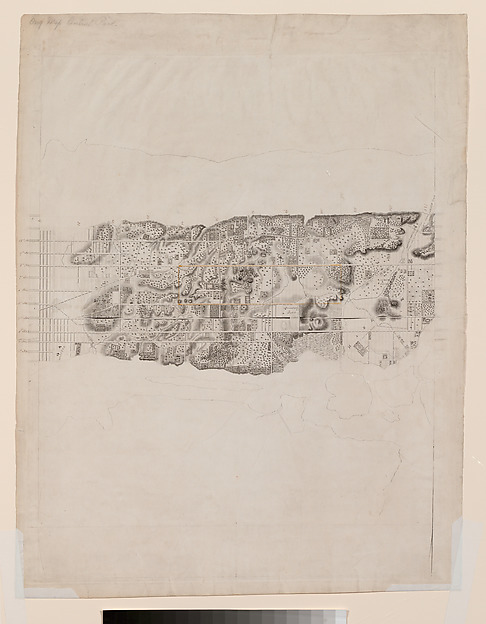
Topographical Map of the City and County of New-York and the Adjacent Country
David H. Burr (d. 1850)
1836–ca. 1858 · Engraving with additions in wash and black chalk
Cleared · Public Domain
live
A Section of the Constellation Cygnus (August 13, 1885)
Paul Henry (d. 1905)
1885 · Albumen silver print from glass negative
Cleared · Public Domain
liveNo open reproduction
The institution withholds the image for this record, which is itself the answer: the picture on their page is not theirs to give away.
Map showing the voyages of Aeneas, from "The Works of Publius Virgilius Maro," 1654
Wenceslaus Hollar (d. 1677)
1653 · Etching; second state of three
In copyright
liveNo open reproduction
The institution withholds the image for this record, which is itself the answer: the picture on their page is not theirs to give away.
Map of Falun, Sweden, Showing Mines and Sinkholes (Aubry de La Mottraye's "Travels throughout Europe, Asia and into Part of Africa...," London, 1724)
Aubry de La Mottraye (d. 1743)
1723–24 · Etching and engraving
In copyright
liveNo open reproduction
The institution withholds the image for this record, which is itself the answer: the picture on their page is not theirs to give away.
A Map of Maryland and the Delaware Counties and the Southern Part of New Jersey &c., from the London Magazine
Thomas Kitchin (d. 1784)
August 1757 · Etching and engraving
In copyright
liveNo open reproduction
The institution withholds the image for this record, which is itself the answer: the picture on their page is not theirs to give away.
Attaque de l'Armée des Provinciaux dans Long Island du 27 Août, 1776 [Map showing the attack of the provincial army on Long Island, August 27, 1776]
Georges Louis Le Rouge (d. 1790)
1776 · Hand-colored engraving and etching; first state
In copyright
liveNo open reproduction
The institution withholds the image for this record, which is itself the answer: the picture on their page is not theirs to give away.
A Map Showing the Relative Situation of the Cities of New-York and Brooklyn
Alexander Martin (d. 1836)
1834–36 · Lithograph
In copyright
liveNo open reproduction
The institution withholds the image for this record, which is itself the answer: the picture on their page is not theirs to give away.
Karte von Europa im jahre 1870 / Karte von Europa im jahre 1914
Paul Hadol (d. 1875)
1914 · Commercial color lithograph
In copyright
live1. Pin the work
Choose the record and say what you are actually going to do with it. The product re-reads the work live and stores a snapshot, so your docket records what the institution said today.
2. Read the arithmetic
Six weighted factors: the institution's own claim, the creator's term, the publication-age rule, the restrictions in their statement, your use, and whether a credit line is even possible.
3. Seal and export
Record the decision into a SHA-384 chain, then export a dated docket as JSON, CSV or Markdown with the credit line and the seal a colleague can re-verify.